Houston Flood Zones and Elevation: What Homebuyers in Sugar Land, Richmond, and Jersey Village Should Check Before Making an Offer
A practical guide for buyers in west and southwest Houston suburbs on reading FEMA maps, checking past flood history, estimating insurance costs, and comparing higher‑ground streets before submitting an offer.

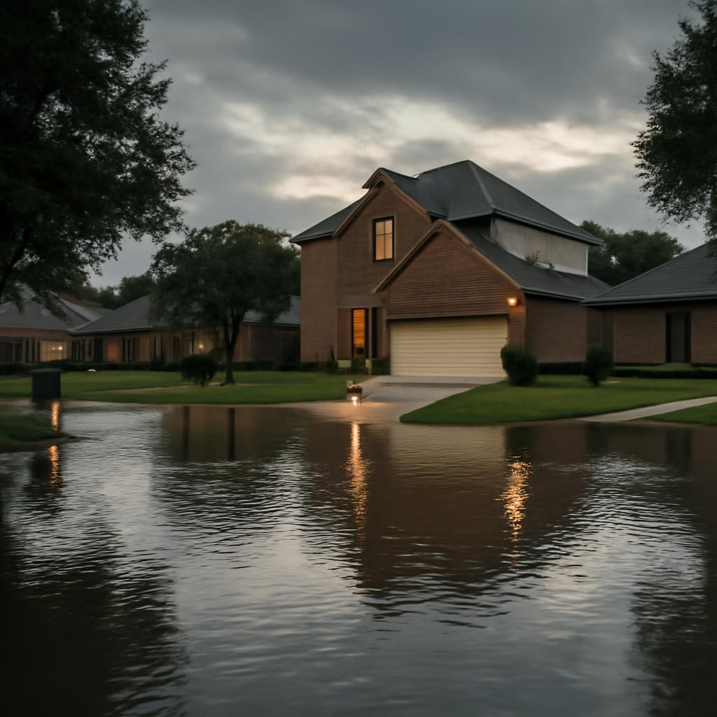
Why flood risk matters in these suburbs
Sugar Land, Richmond, and Jersey Village sit in parts of the Houston region where heavy storms and local drainage patterns can produce neighborhood-level differences in flood risk. For buyers, flood exposure can affect insurability, mortgage requirements, repair costs after an event, and long-term property value. Checking flood zones and elevation before making an offer reduces surprise expenses and gives you leverage in negotiations or contingency language.
Start with FEMA flood maps (FIRMs) and the basics they show
The FEMA Flood Insurance Rate Map (FIRM) is the standard starting point. Look up the property on FEMA’s Flood Map Service to see whether it’s in a Special Flood Hazard Area (SFHA) — commonly labeled zones like AE or AO — or in a zone of moderate-to-minimal risk (often labeled X). Pay attention to the map date and any pending map revisions for the community; a planned remap can change a property’s designation. The map will also show the Base Flood Elevation (BFE) for many SFHA locations: the elevation that lenders and insurers use to assess risk.
Understand Base Flood Elevation (BFE) and finished floor levels
Knowing whether a home’s finished floor sits above or below the BFE is crucial. If the finished floor is below the BFE, flood insurance premiums will typically be higher and lenders may require flood insurance. Ask the seller for an elevation certificate if available, or have one produced by a licensed surveyor. An elevation certificate documents the relationship between the structure’s lowest floor and the BFE, and is often required by insurers to generate precise quotes.
Check prior flood history and public records
Flood maps show modeled risk, but past flood events tell the lived experience. Request seller disclosures about prior flooding and repairs, and check public sources such as county floodplain administration, local permitting records, and flood insurance claim databases where available. In some cases municipal or county websites provide flood incident summaries or project histories. Documented past floods, even if resolved, are important for underwriting and for assessing recurring repair needs.
How to estimate insurance costs and lender requirements
If a property lies in an SFHA, most mortgage lenders will require flood insurance. To estimate premiums, contact a licensed insurance agent and provide either an elevation certificate or the best available information about first-floor height. Without an elevation certificate, insurers must often assume a higher risk, which increases premiums. Ask agents for both NFIP (National Flood Insurance Program) and private-market quotes; depending on elevation, construction, and claims history, private options can sometimes be competitive.
Practical ways to compare higher‑ground streets and sections
Within the same neighborhood you’ll often find blocks or streets built on slightly higher ground. When touring areas in Sugar Land, Richmond, or Jersey Village, look for these indicators: homes with visible raised foundations, driveways that slope down toward the street, landscaping grading away from the house, and neighborhood drainage swales or retention ponds. Also note recent rebuilds or properties elevated on piers — these can signal repeated flooding issues in lower-lying sections.
Inspection checklist and contingencies to include in offers
Before submitting an offer, include contingencies that allow you to verify flood-related facts: a contingency for review of the FEMA map and elevation certificate, a contingency to obtain a professional elevation survey, and a financing contingency that explicitly conditions approval on a flood insurance quote within an acceptable range. During inspection, consider hiring a surveyor or civil engineer to assess lot elevation and drainage, and ask an inspector to check for evidence of past water intrusion, mold, or structural repairs consistent with flood damage.
How a local real estate consultant can help and next steps
A local real estate consultant can streamline this work: locating current FEMA maps and local floodplain information, coordinating elevation surveys, referring insurance agents, and drafting offer contingencies that protect buyers. Wellpoint CRE, serving Sugar Land, Richmond, Jersey Village and nearby Houston suburbs, can assist buyers in interpreting maps, securing the necessary inspections, and negotiating terms tied to flood risk findings as part of the purchase process. If you’re considering a property in these areas, start by requesting the FEMA map for the parcel and asking the seller for any elevation documentation or prior-claim information — then seek professional quotes and surveys before finalizing an offer.
Article by
Quinn Luong - Commercial & Residential Real Estate Services - Wellpoint CRE
Real Estate Company